
Geolocated pictures for saved / shared GPX files.
Implement the option to easily add multiple geolocated pictures from user phone (Android / IOS - other than then one used for navigation) for a saved GPX file (either exported from Webplanner or saved from the navigation device (manually or by auto-recorder) .
Then in the HUB users could see those pictures pinned to the location where they were taken on the GPX page description and especially on the map preview of the track / route for that GPX file.
This would be useful for those who what to ride shared public tracks and want to make a better idea how the track looks like and what / where have nice spots to be seen.
Also this would make thing easier for those who want to add such details to their shared GPX files by auto position the pictures.
Adding a text note for each picture would also be helpful.
You can check how Komoot app does it for saved "Activities" which is pretty well developed.
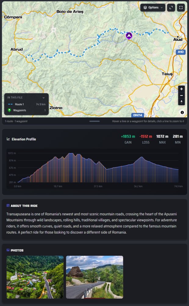
Now for shared GPX files we can upload only two cover pictures.
The geolocated pictures loaded by customers could also be shown in the webplanner map view, similar to how user pictures are shown in the google maps / google earth. An option added option like "Community photos" in the map menu could add this layer of information, similar to what Community Ways does.