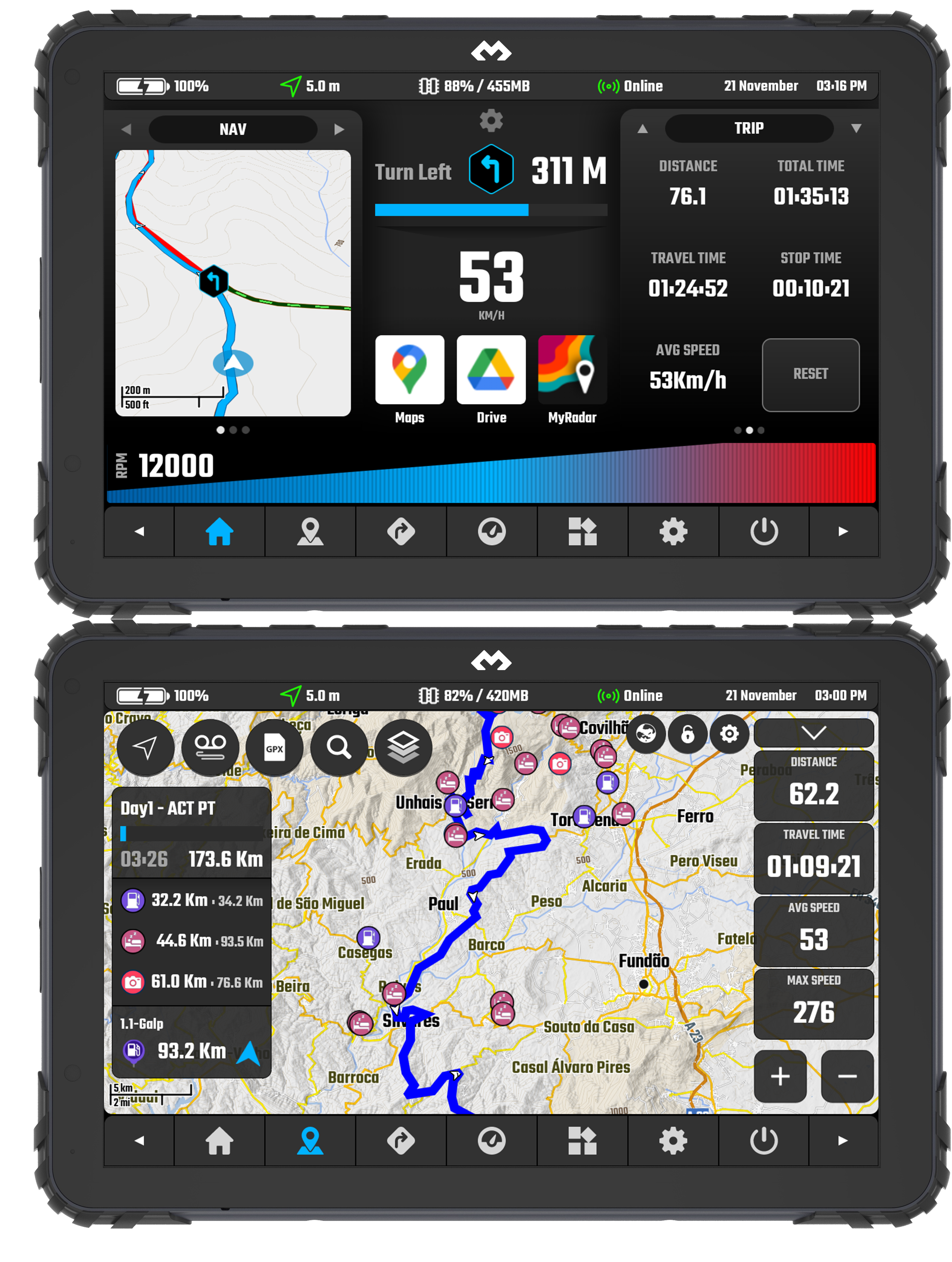

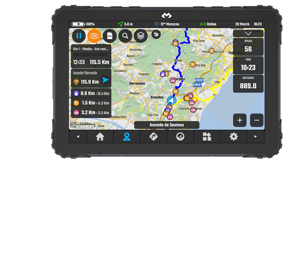
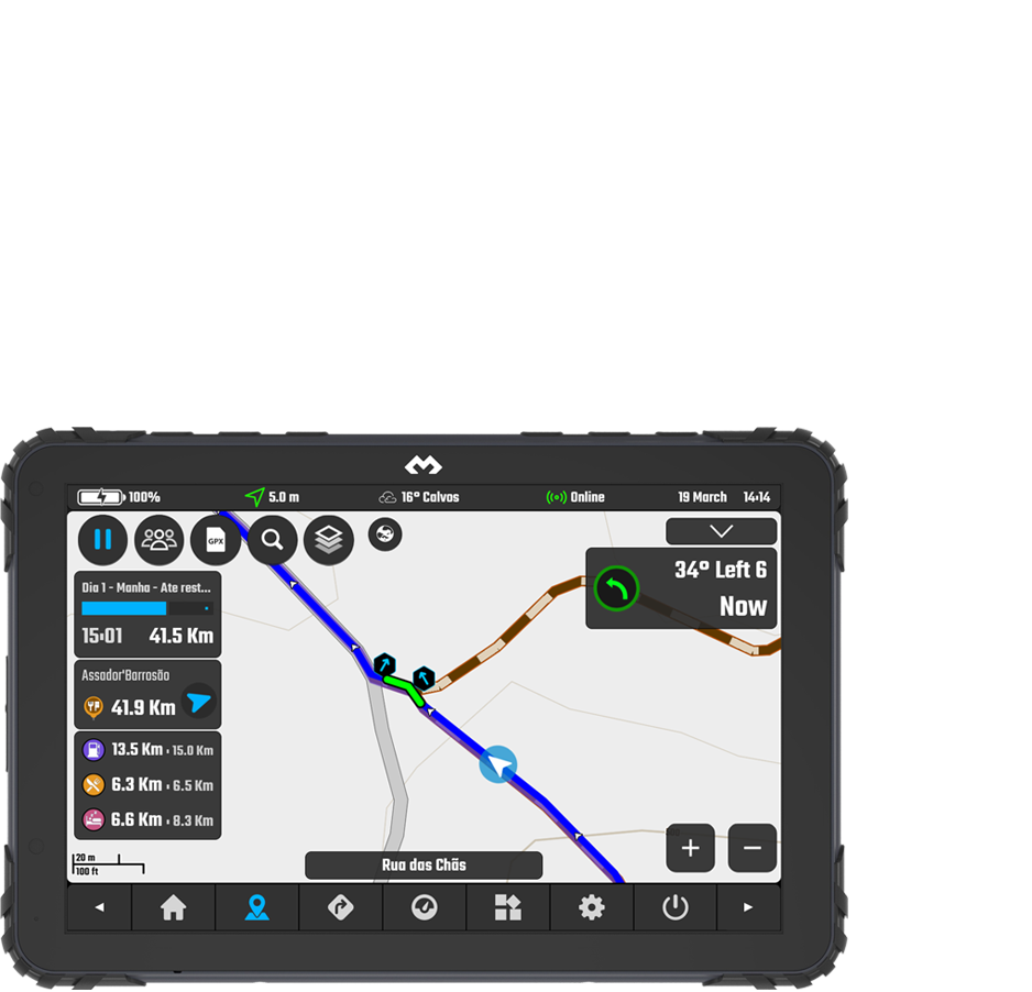
Map Basics & Legend
Understanding the basics of the map - the base interface (what is each button) and the actual map data legend (road colors and icons).
Latest documentation entries for the DMD² app - If you are looking for the ultimate app manual this is it.


The latest recurrent questions from our users - Got a question that you did not find an answear in the documents? Check our FAQ!

Yes, you can install 4 sensors in a 4 wheel vehicle and setup DMD2 to use 4 Wheel mode.
Open DMD2, go to Global Settings > TPMS Sensor Settings > Sensor Setup - select 4 wheels. Both the widgets and settings will reflect the change.
Please notice each sensor kit only includes 2 sensors, for a 4 wheel setup you need to purchase two kits.
The most common issues for sensors not showing in the search dialog are a dead battery or the valve tread was not enough to trigger the sensor pin.
In the case of a dead battery a simple battery replacement will fix it.
In the case of not enough tread in the valve, try installing the sensor without the security nut to see if the extra thread is enough.
To force a sensor to go into discoverable mode you can do the following:
Slow unscrew the sensor from the valve, the air pressure difference should force the sensor to broadcast
Remove the sensor battery, wait 1 minute, reattach the battery, start the dialog in DMD2 again.
This is not uncommon and is due to the screen being activated by water drops. Using the Manage App (a system app available on all our devices), configure one of the available device hardware buttons to enable/disable screen touch. This way, when riding in the rain, you can lock the screen touch!
Inside the DMD2 app you will even find an option to automate this while you ride and you can even assign this function to one remote controller button.

The Manage app is a device system application, specific to DMD Navigation devices. If you have a DMD Navigation device and you cannot find these apps pre-installed, please contact support, we can easily fix it with a remote FW update push.
By default when you plug our devices to a PC it will only charge the device.
If you want to access the device files from the PC you need to enable File Transfer in the device settings.
To do this you can check this video:
- Swipe down from the top of your screen
- Tap on the notification that says "Charging this device via USB"
- In the USB Preferences enable "Use USB for - File Transfer"
HUB Public Locations is live, can be accessed in the Location Manager and will show for your country / 1000Km grid - settings available in Locations Manager -> Settings - by default they load in the map too.
GPX Manager - Fixed the eye (show/hide) action - now it will not trigger map movement / dialog transparency
Added a small scale factor to My Location / HUB Public Locations icons according to map zoom
All Location related dialogs top filters now use new original DMD2 style dialogs!
User location add/edit now has a quick category selector + star icon to set "Main Category" when user selects multiple categories
Routing is allowed on all road types - roads which are usually not permitted for cares have the lowest possible priority to be used only as last resort
GPX Settings -> Track Extra Instruction -> Show Angle Text for Curves -> In case you want to see only Next Curve icon + Distance
Improved Group GPX File download routine
Added setting to disable pause follow mode on dialog objects tap -> Map Configuration -> Follow Icon & Modes -> Do not pause follow on ui interactions
Users without a map subscription are limited to 4MB/s map download speed... the recent increase in users is reducing the server speed for everyone, we need to give priority to paying users
Topo Map Style changes -> They are already reflecting the new maps we will release soon so some elements might be a bit weird